


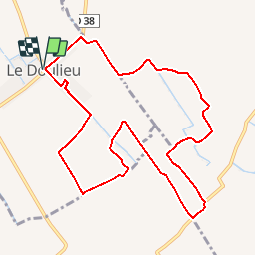

9.1 km | 9.7 km-effort

User


FREE GPS app for hiking
 SityTrail
IGN / Geographical institutes
SityTrail World
The world is yours!
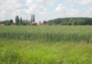
Trail Mountain bike of 9.7 km to be discovered at Hauts-de-France, Nord, Le Doulieu. This trail is proposed by tracegps.
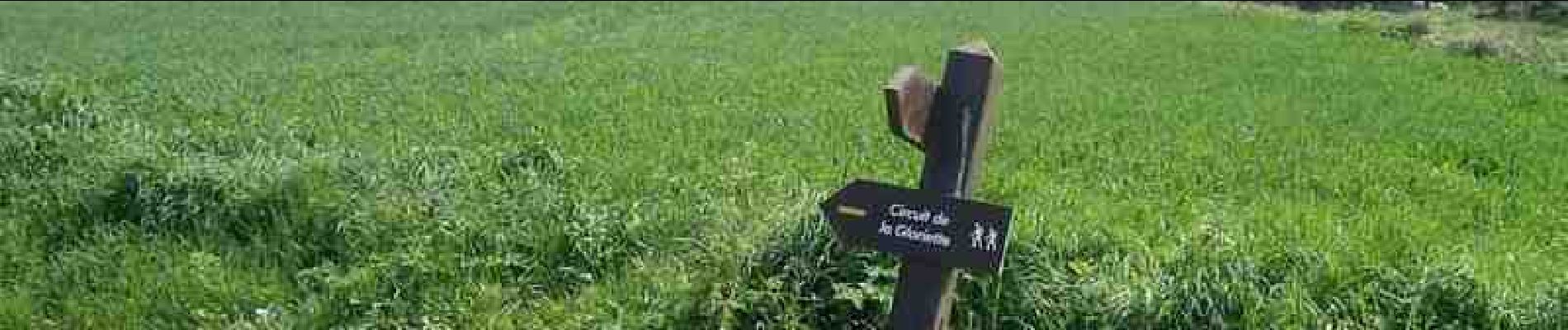
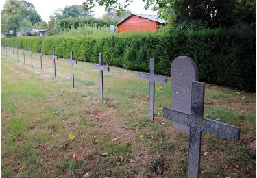
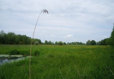
Circuit proposé par le Comité Départemental du Tourisme du Nord. Départ de la place de l’église de Le Doulieu. Chapelles de route et chapelles domestiques jalonnent ce parcours entre Le Doulieu et Steenwerck. Ce parcours présente beaucoup de portions macadamisées, ce qui lui confère une pratique en toute saison. Meilleure période de mars à octobre au sein de la plaine flamande cultivée. Retrouvez cette randonnée sur le site du Comité Départemental du Tourisme du Nord.


On foot
On foot
On foot

Walking
Walking

Walking
Walking
Mountain bike

Walking